Author | Jaime Ramos
The cliche of the anthill city has its own demographic indicator. Population density is a key factor in order to understand the essence of a city, together with its problems and challenges.
Population and population density are two different things
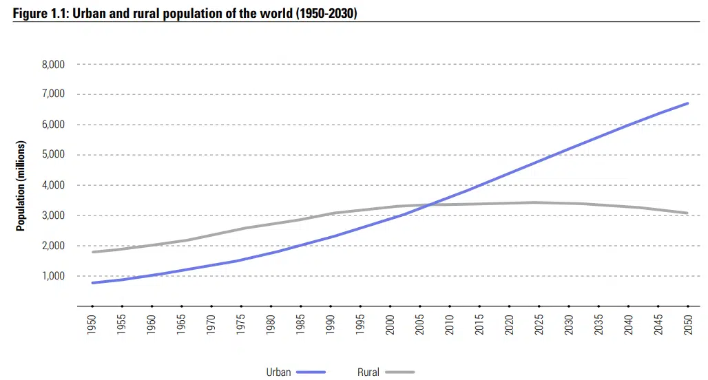
The first step towards understanding population density is to remove it from the quantitative concept of population. Density refers directly to concentration. In the urban space, recent estimates require us to consider the challenge of measuring density. According to the UN, 55% of the world’s population lives in cities. This percentage will increase to 68% by 2050. The intensity of this trend will increase in Asia and Africa.
How do we measure and assess the population density of a city?
Population density relates the number of people living in a certain area. However, there is a certain degree of disparity when applying the land area denominator.

Firstly, depending on the place, the areas may be measured in square kilometers or square miles. Given the vast growth of cities, calculating the density of the entire region that they cover, is different from doing so by regions or smaller administrative units such as districts, neighborhoods or suburbs, which end up being swallowed up by urban growth.
Calculating the density can provide clues as to the urban problems of a specific area in terms of development, security, level of services, transport, marginality, etc.
Which are the most densely populated cities in the world?
The similarities and significant differences between larger cities and with high populations and those more densely populated cities is quite striking.
Asia
By current density and expectations, most of our world’s challenges are on this continent. Urban concentration is a long-standing phenomenon in Asia. Here, both suburbs and large cities have high levels of population density.
Philippines: Manila, Pateros, Mandaluyong, Caloocan, Makati, Malabon, Navotas and Pasig are at the top of the list of most densely populated urban areas. The capital has a population density of 41,515 people per square kilometer.
Bnei Brak and Gaza: located to the south of Tel Aviv, Bnei Brak has a density of 30,001 people/km2. Not too far away, the Gaza Strip is the third most densely populated political unit, behind Singapore and Hong Kong.

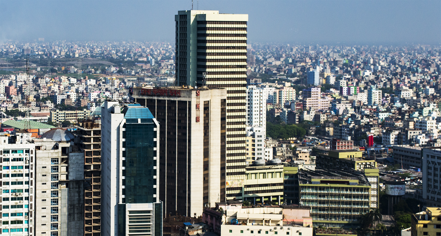
**Dhaka and Karachi: **if we talk about megacities, at the top of the list in Asia are Dhaka (Bangladesh) and Karachi (Pakistan) with 29,069 people/km2 and 25,229 people/km2. Cities in India, China and Indonesia are also at the top of the list. For example, Mumbai, with over 12 million inhabitants, has 20,634 people/km2. Other densely populated cities include Macao (21,224 people/km2) and Jakarta (15,964 people/km2).
America
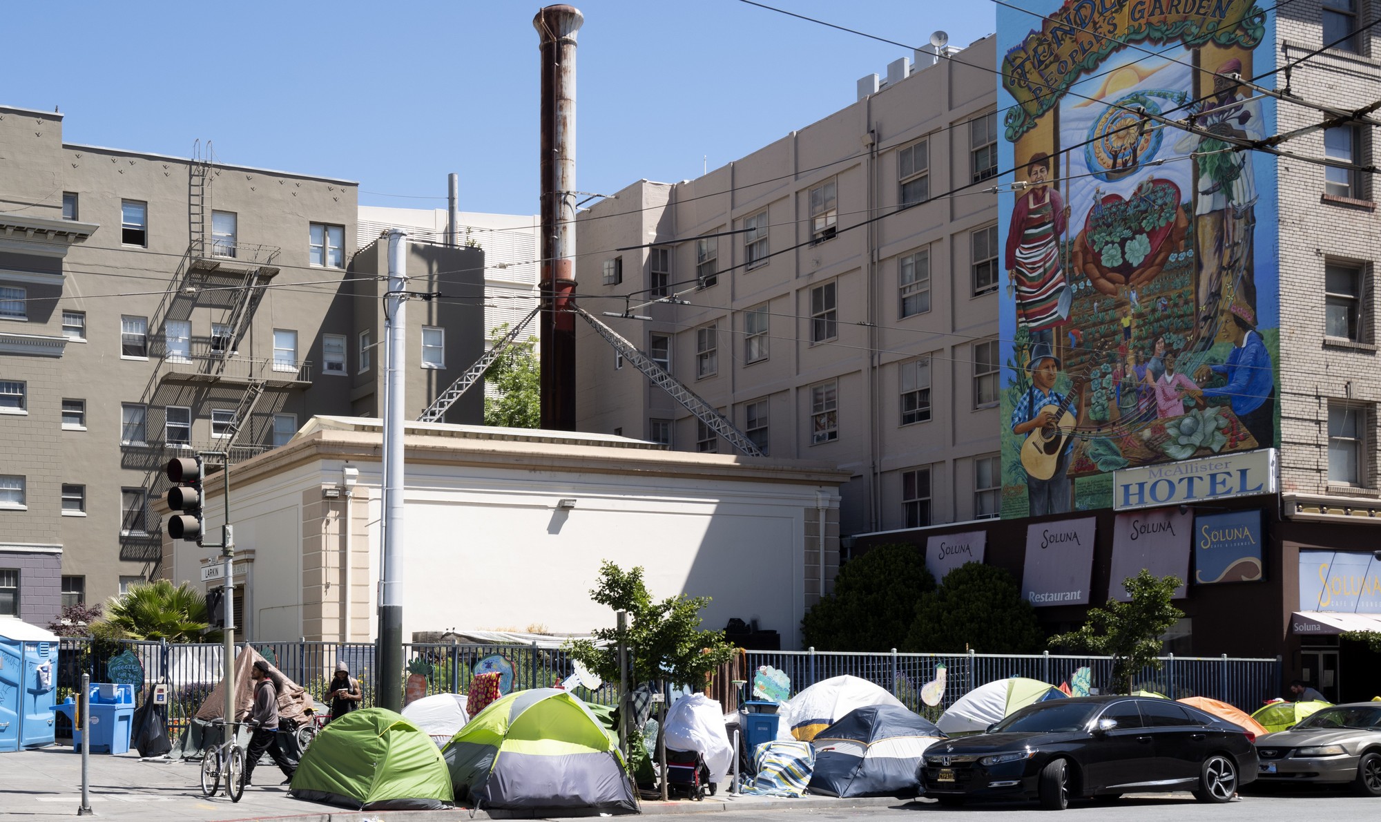
Port-au-Prince, in Haiti, is the most densely populated city of this continent with 27,395 people/km2. In the United States, New Jersey and New York have some of the most densely populated districts, such as Guttenberg (22,600) or Union City (20,047).
Europe
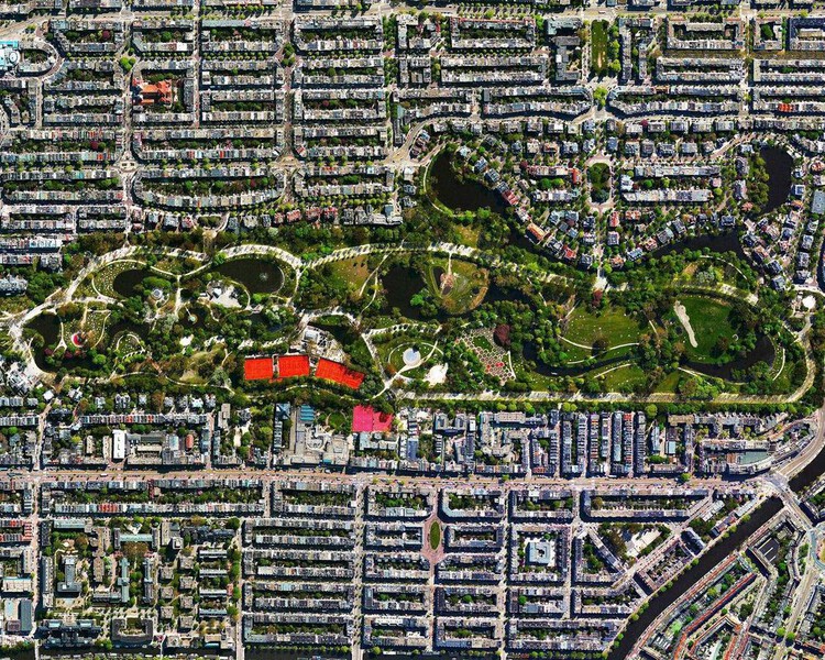
In Europe, high population density is normally seen in districts rather than in large urban areas. France is the country with the most densely populated cities. Paris has a population density of 20,755 people/km2. Its neighboring areas also have the highest figures in the world, such as the communes of Levallois-Perret, Vincennes and Le Pré-Saint-Gervais.
Oceania
Population density is not a problem in Oceania, at least not compared with other parts of the world. The most densely populated city is Auckland (Australia) with 2,548 people/m2.
Africa
The African continent faces the challenges of population density in unequal and difficult conditions. Today, Mogadishu (with around 26,800 people/km2) in Somalia; Asmara (21,400) in Eritrea; or El Cairo (15,742) in Egypt, occupy the first positions in terms of most densely populated cities.
In Africa it is hard to even obtain official records maintained over time, compared with western countries. Although the cities in Africa are not at the top of the lists, estimates for future decades should not be underestimated.
Images | Wikimedia.commons/ASaber91, Wikimedia.commons/United States Department of Agriculture, Wikimedia.commons/Diego Delso (CC-BY-SA)
