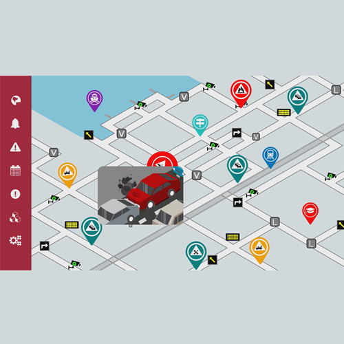
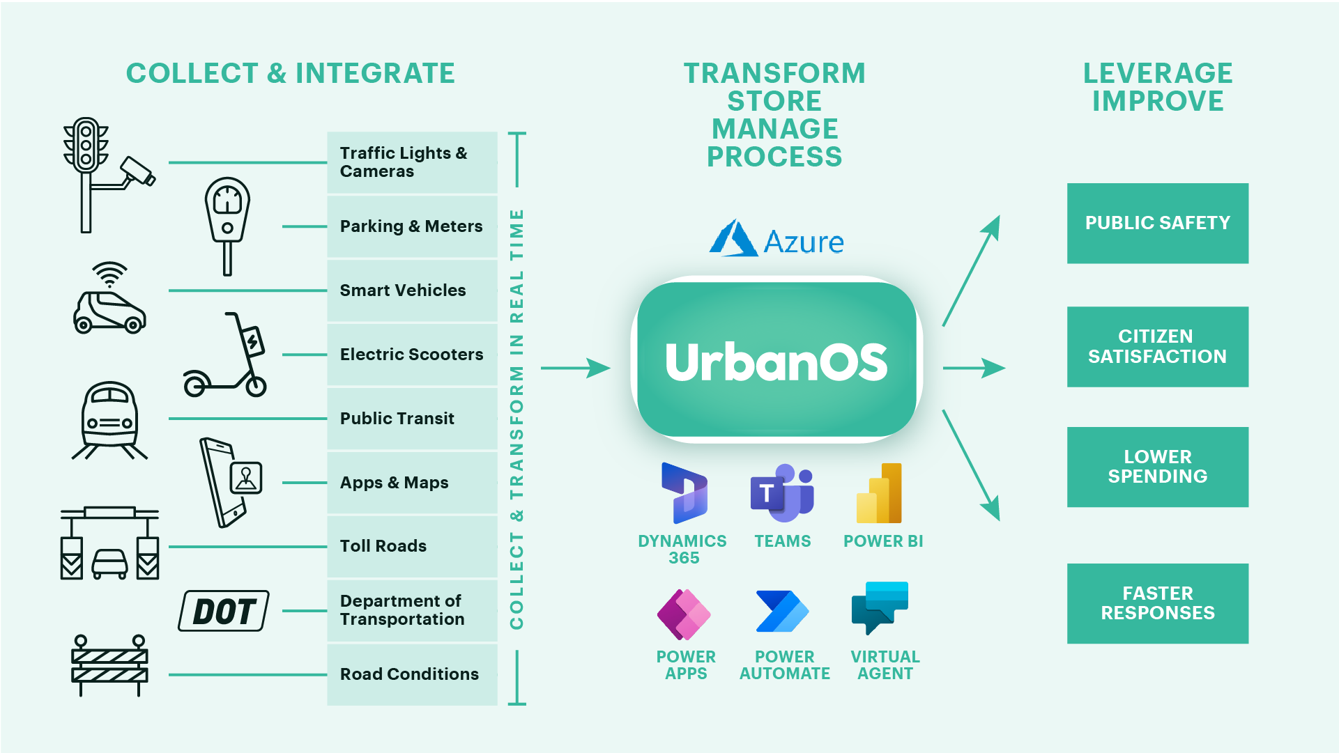
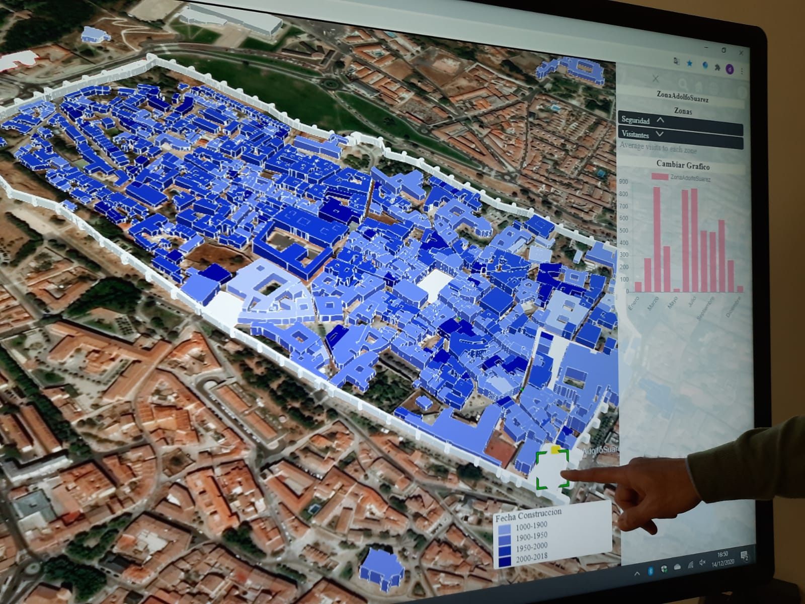
HOPU has a service that simplifies available data in a unique indicator that contextualizes, models and forecasts the environment for supporting informed decision making of each territory, based on its specific characteristics, management team, and citizens.


Following the FIWARE Open Source approach, this service allows the collection, analysis and visualisation of large amounts of data related to the environmental situation of the city in a simplified way, including data sources on transport, utilities, social data, open data and sensor data, to provide a unique indicator that facilitates the understanding of the environmental state and the main affected areas of the territory. The current use cases of the service include a high range of indicators related to the pollen families & levels, pollution sources detection (industry, traffic, etc.), the impact of Low Emission Zones (LEZ), compliance with Sustainable Development Goals, low urban security zones control, and the urban health monitoring in specific areas as the case of schools to inform urban planners about harmful situations for the youngest.
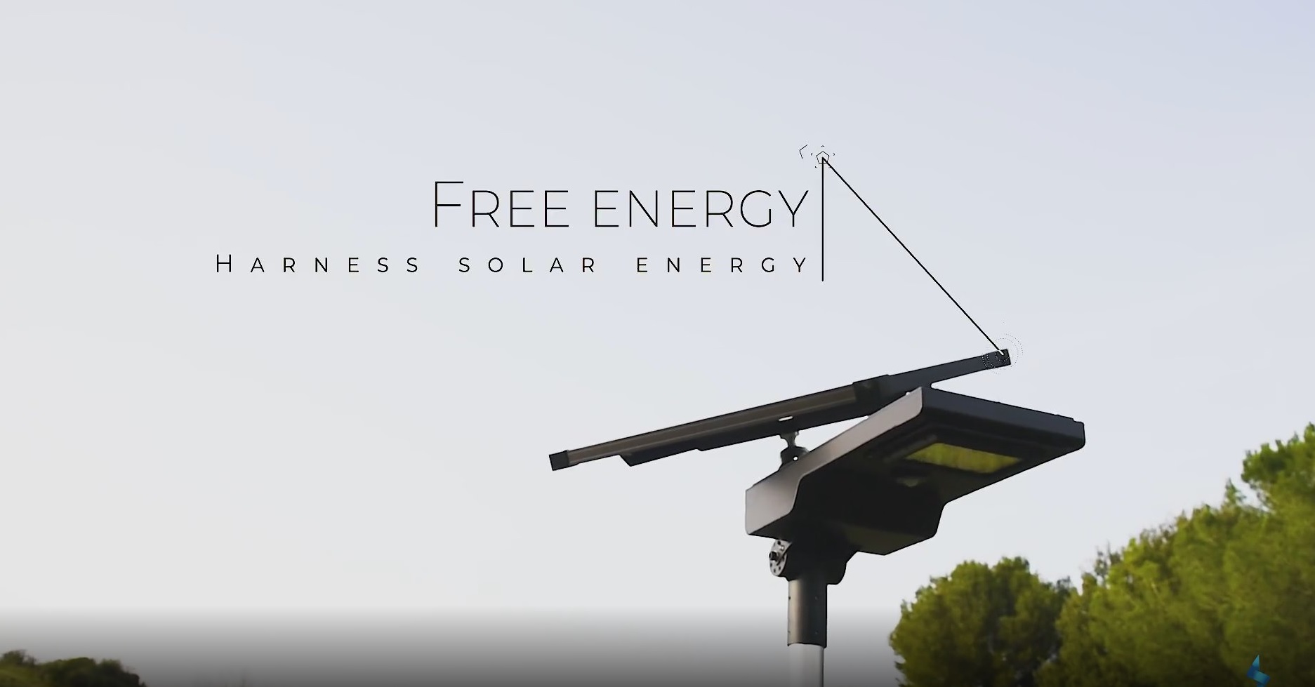
HOPU also offers high-quality devices for monitoring pollution and environmental parameters that affect their growth to provide an infrastructure that collects contextual data of the territories, improving the quality and accuracy of indicators for decision making.
CARTAGENA, MURCIA (SPAIN)
GET IN TOUCH
Company Link: www.hopu.eu
Product Link: https://www.youtube.com/watch?v=GCl62RXBUhw&ab_channel=HOPUSmartCities
E-mail: andrea@hopu.org
Contact phone: +34676629474


