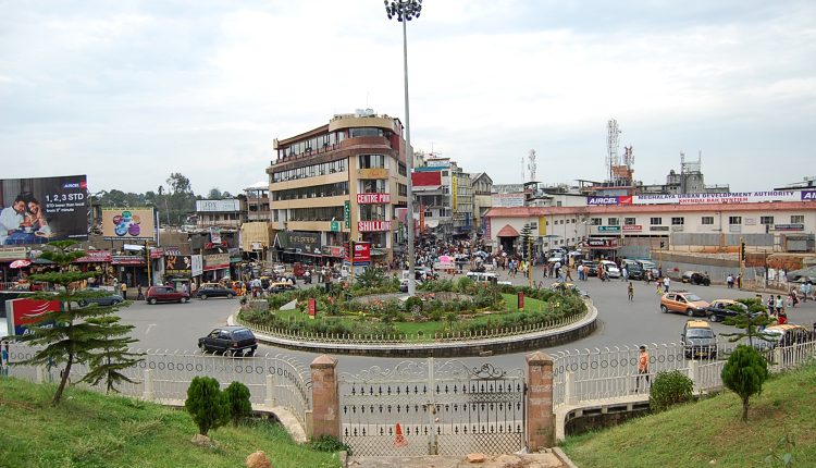
Globally cities are accelerating their efforts to harness technology convergence for smart solutions to automate decision-making and scale urban experience to the next level. As a part of their transformational journeys, cities are strengthening their geospatial infrastructure to unleash the power of spatial analytics, the Internet of Things (IoT), big data, and artificial intelligence (AI) to improve the quality of life for their citizens and strengthen resilience.
Launched in 2015, the first phase of Smart Cities Mission (SCM) set the ball rolling for a new chapter in the Indian urban scenario. With an objective of providing core infrastructure, good quality of life and a clean, sustainable environment through ‘Smart’ solutions and services, 100 cities across the country launched citizen-centric programs to address their local challenges.
While Ministry of Housing and Urban Affairs (MoHUA’s) geo-enabled India Urban Observatory is helping with reliable information for timely interventions at a national level, individual efforts from Gurugram and Varanasi in the north to Visakhapatnam in the south, to Bhubaneswar in the East and Agartala and Sikkim in North East, cities have been harnessing “The Science of Where” for improving efficiencies to enhance citizen services. Taking a step forward, some cities have integrated IoT and sensors to capitalize on the real-time location intelligence for enhancing the decision-support system, improving collaboration, and delivering rapid emergency responses. Geospatial infrastructure has proved to be a major force behind this new wave of transformative digital services powering cities with insights and analytics for actionable intelligence and informed decisions.
+INFO: BW Smart Cities


